Federally Navigable Waterway
The New River Is Not a Backdrop.
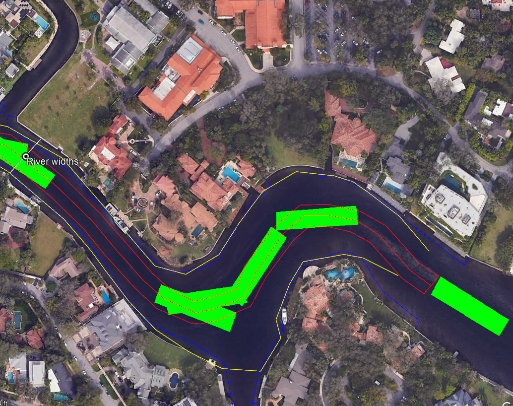
It Is a Supply Chain.
The New River in Fort Lauderdale is a working waterway supporting critical infrastructure, a multi-billion dollar marine industry, and public safety. Cumulative dock and vessel encroachment is narrowing the functional channel. We must act before geometry makes the decision for us.